Call Us Now : 07305 321110 Email : tony@seagullaerialphoto.co.uk
Menu
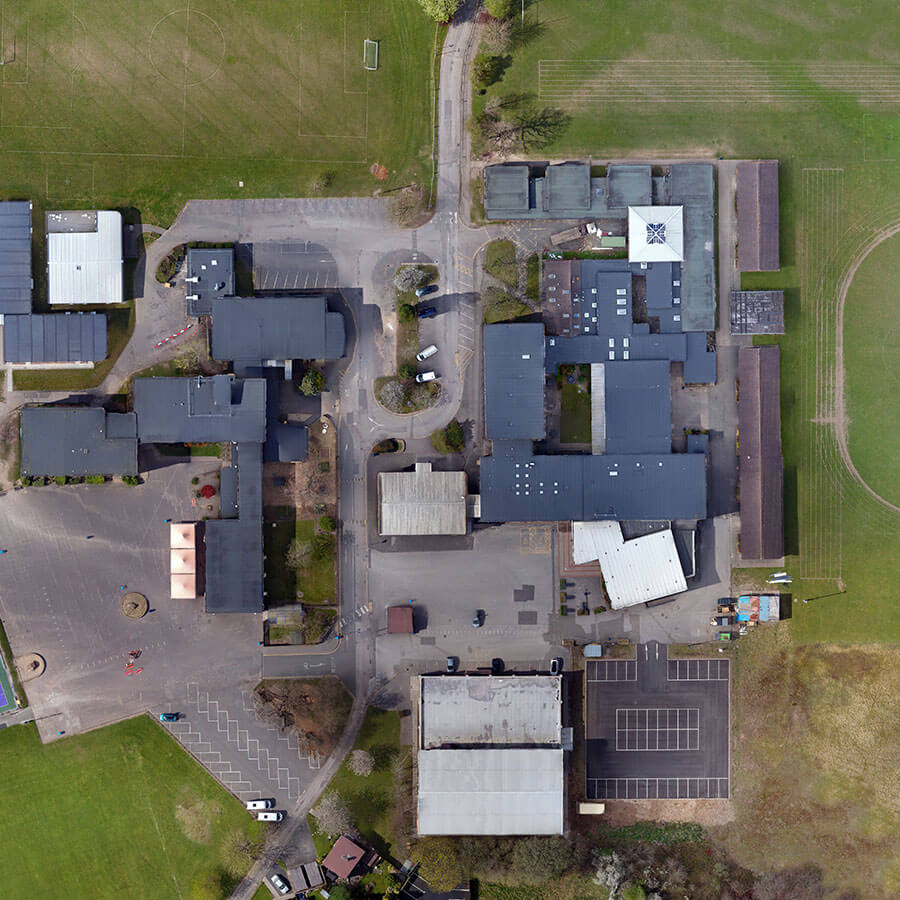
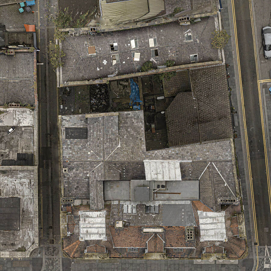
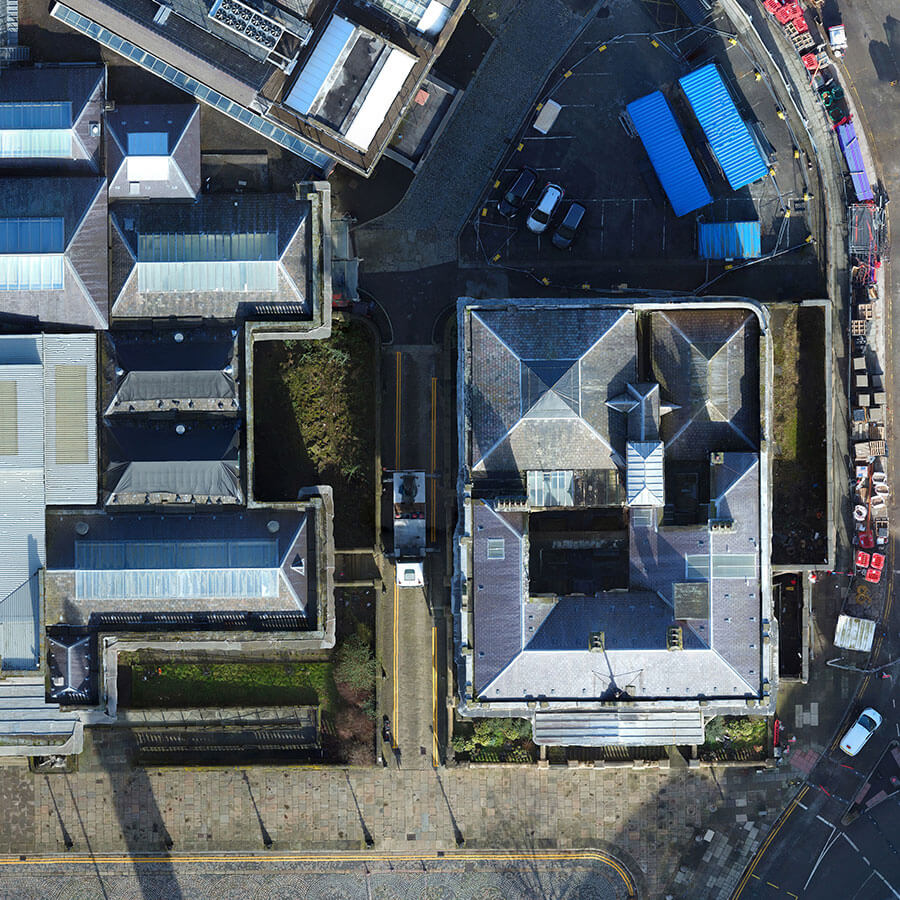
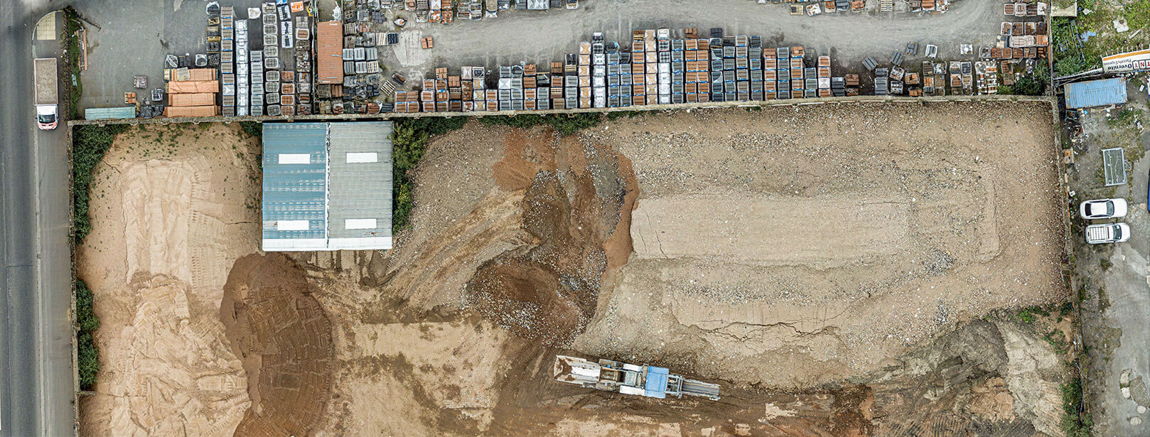
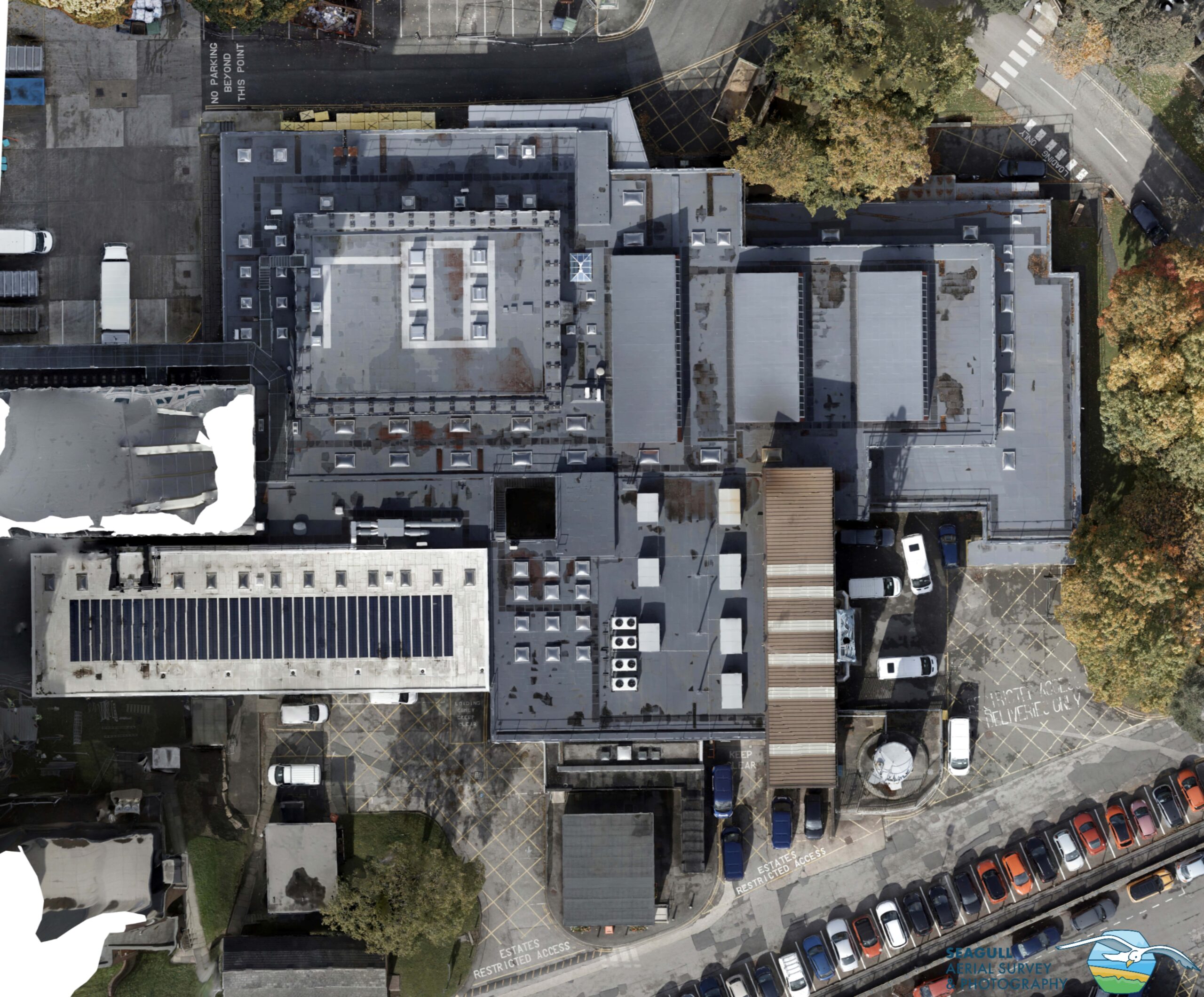
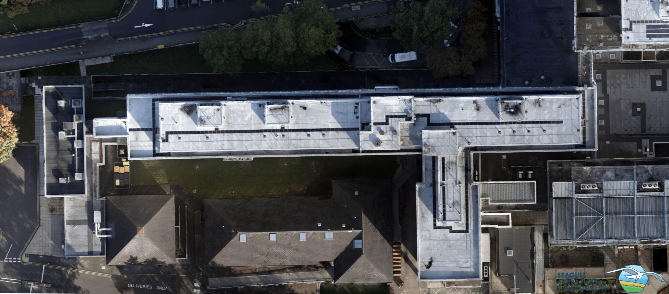
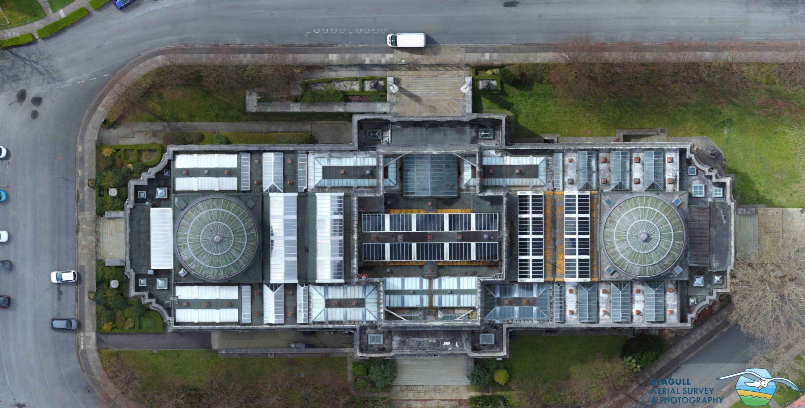
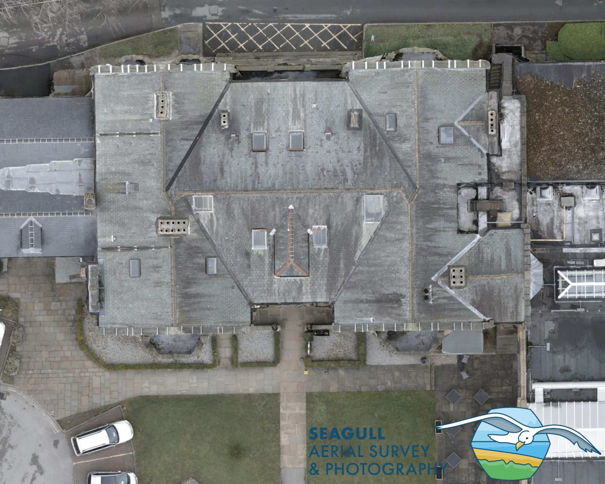
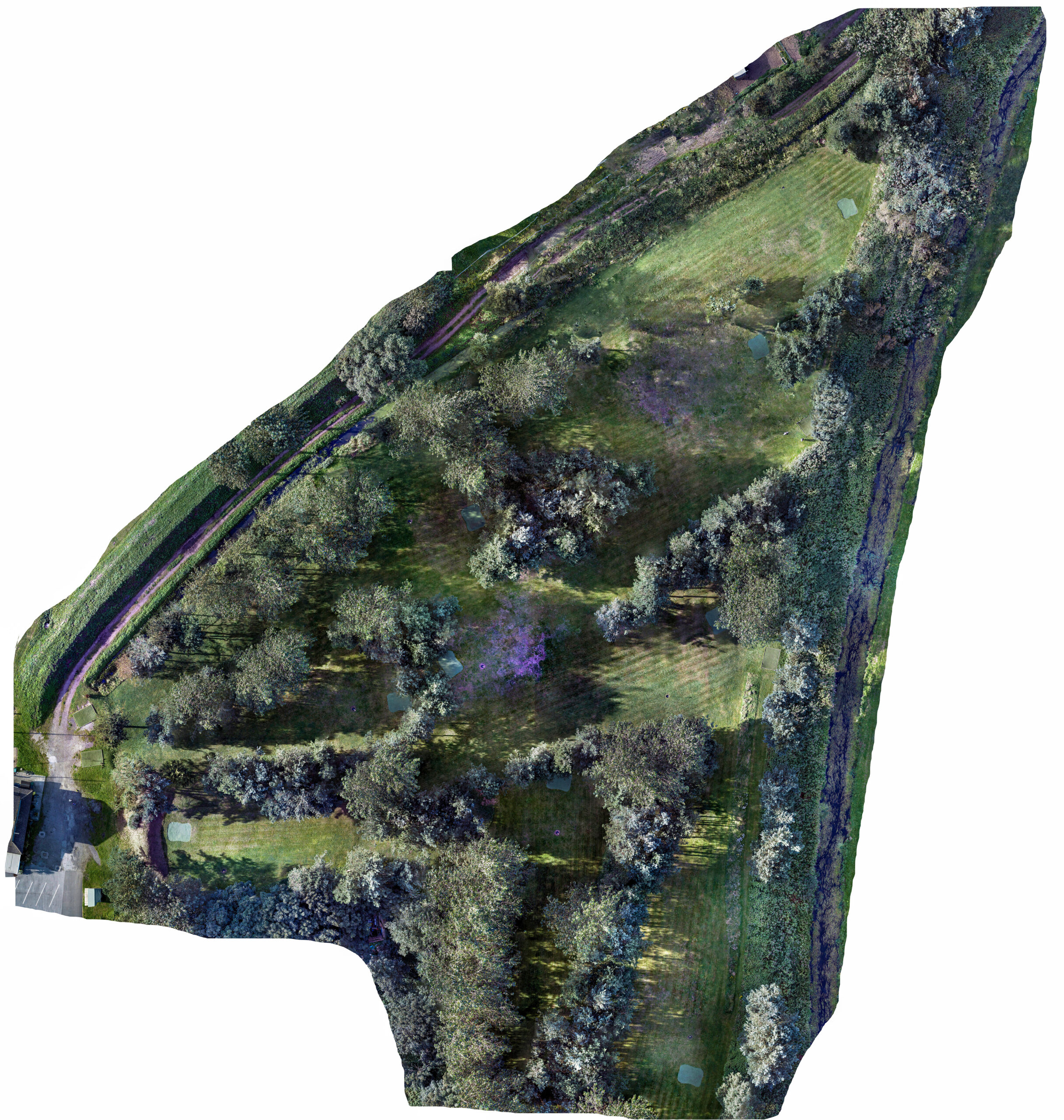
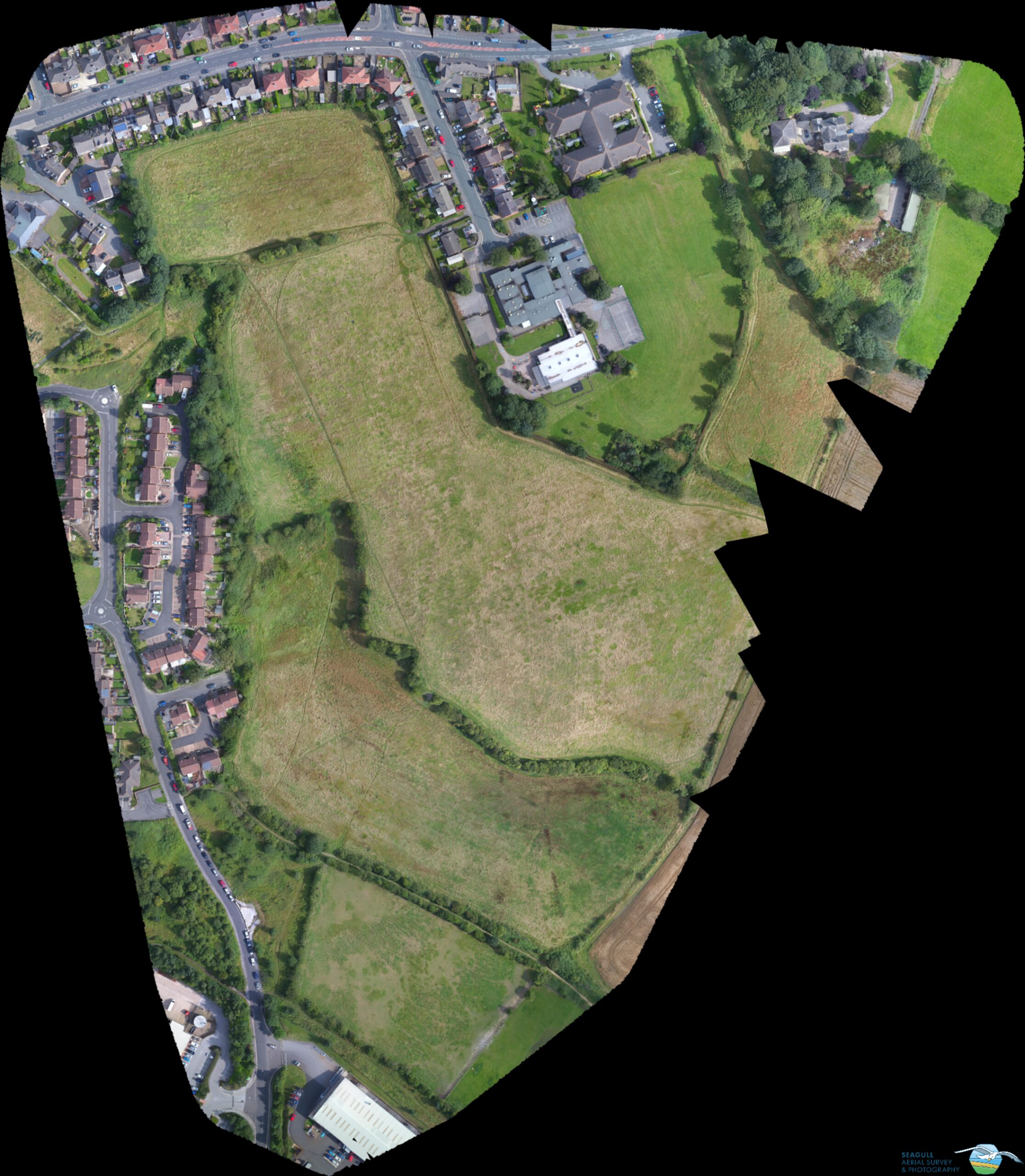
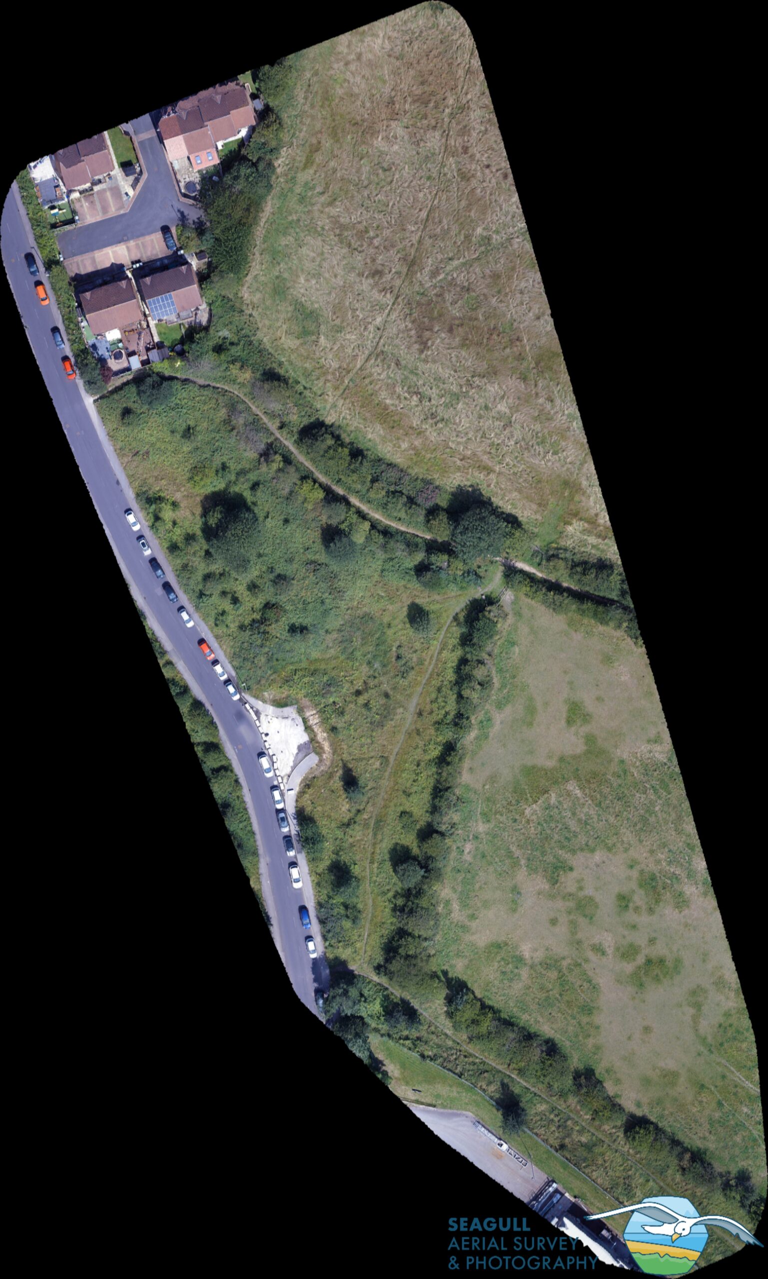
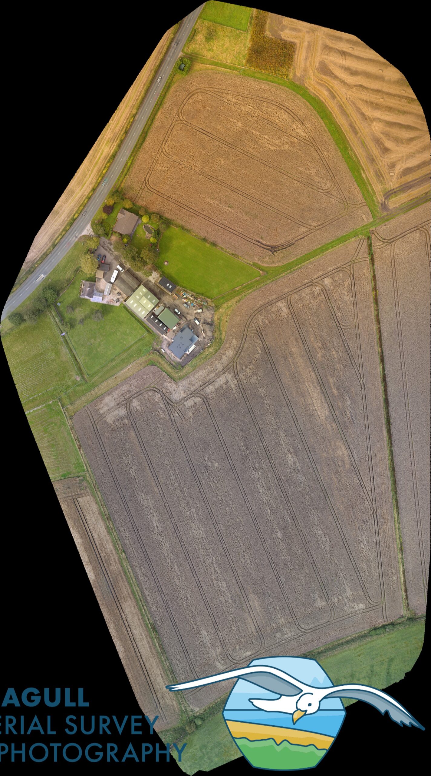
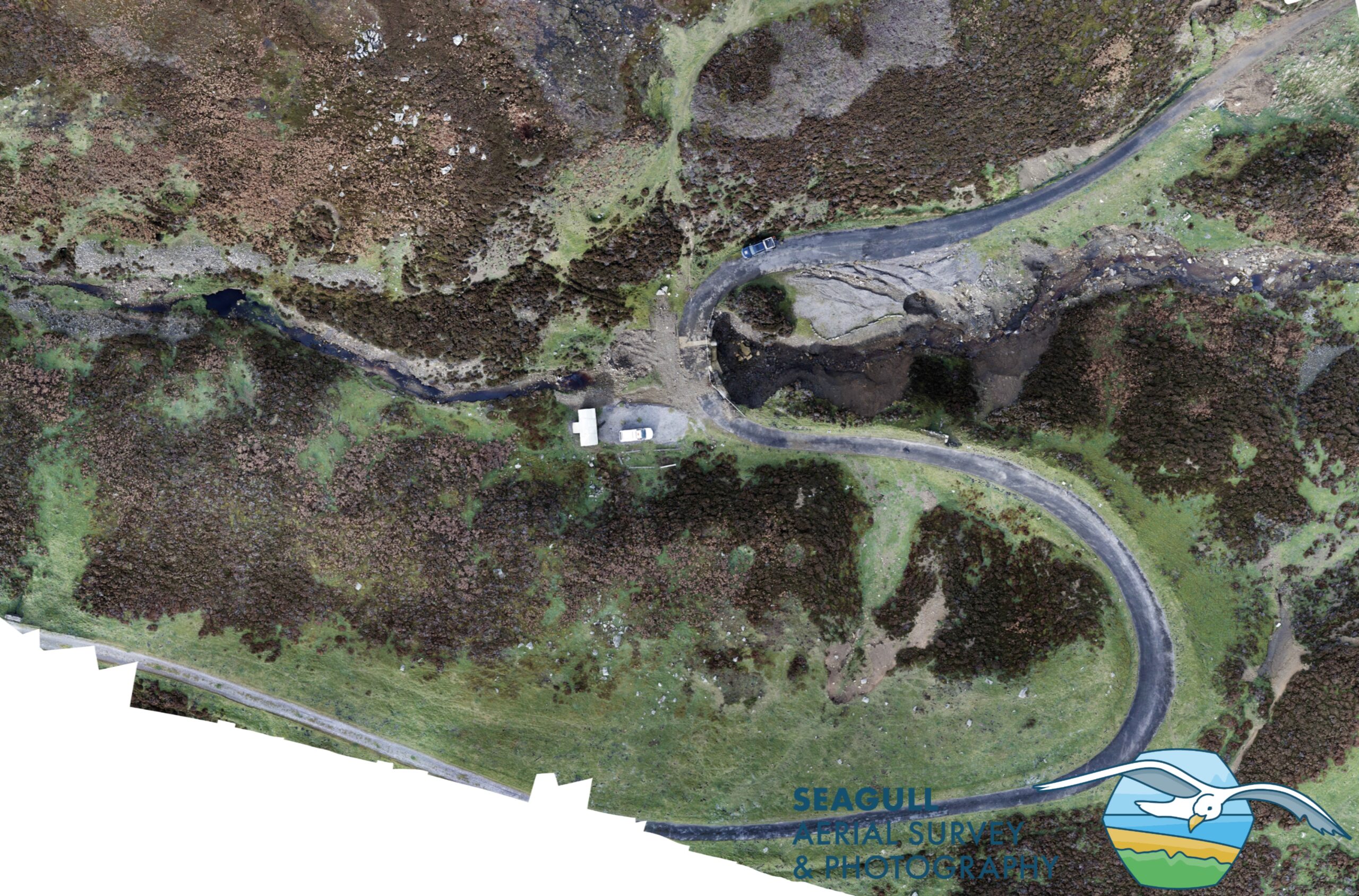
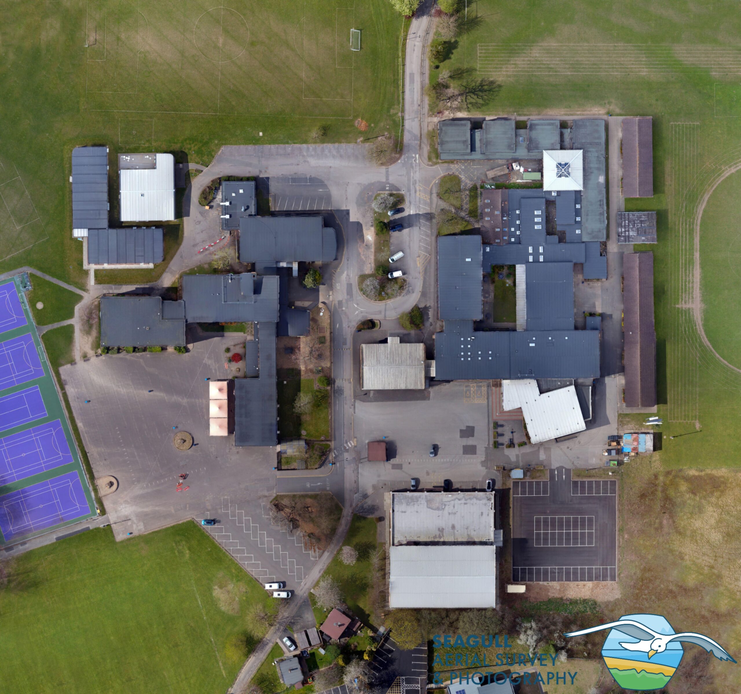
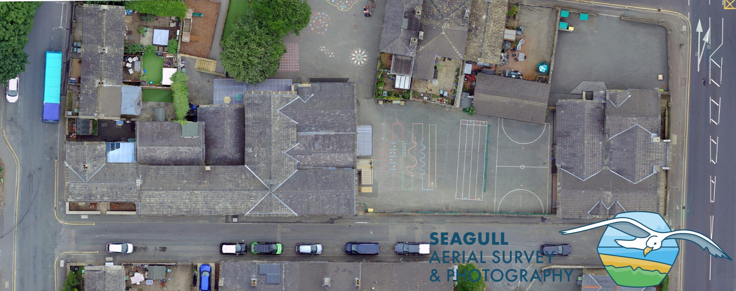
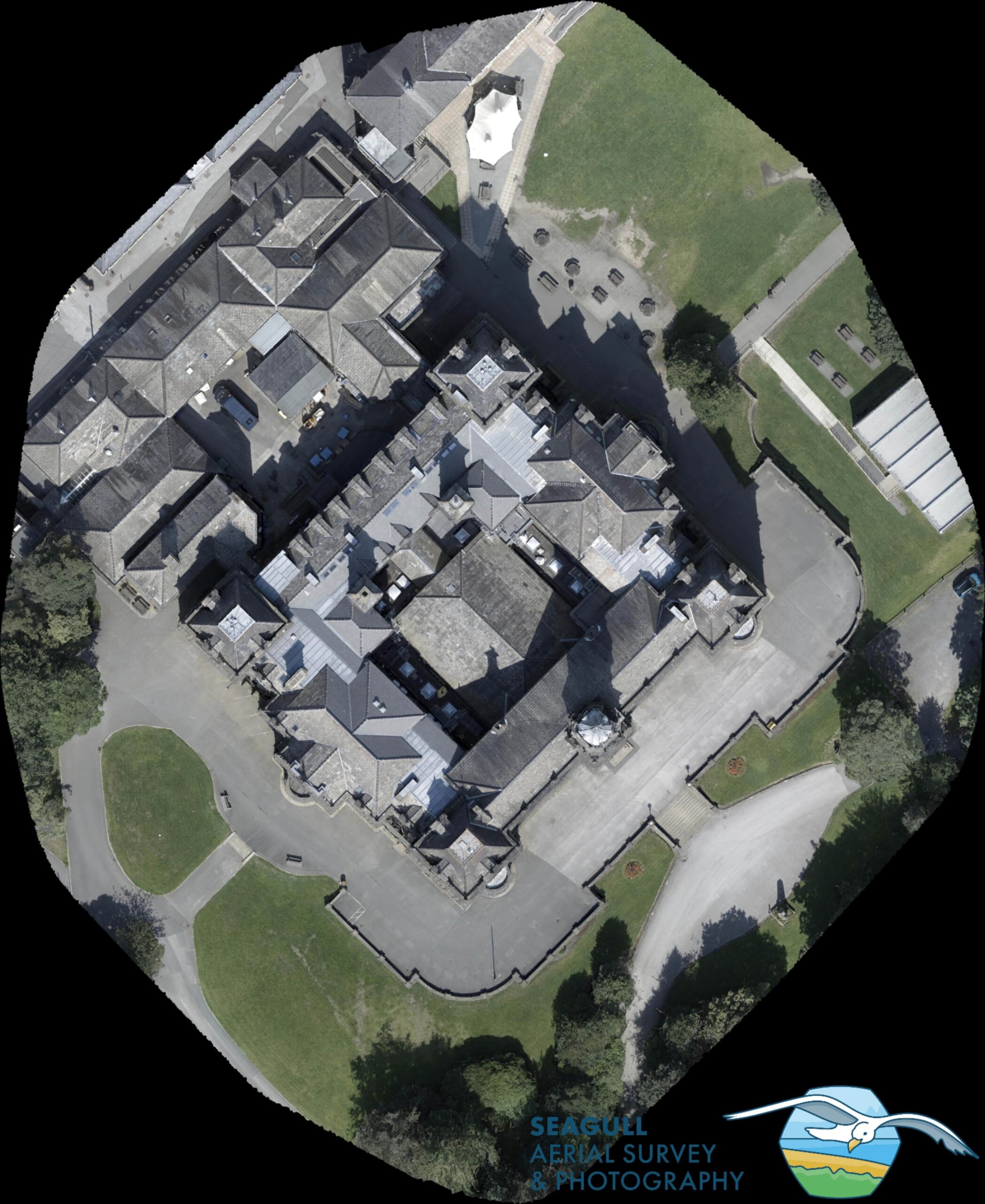
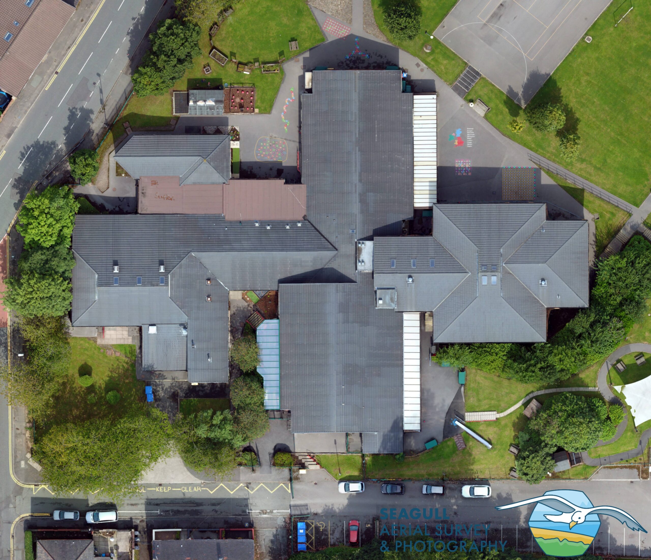
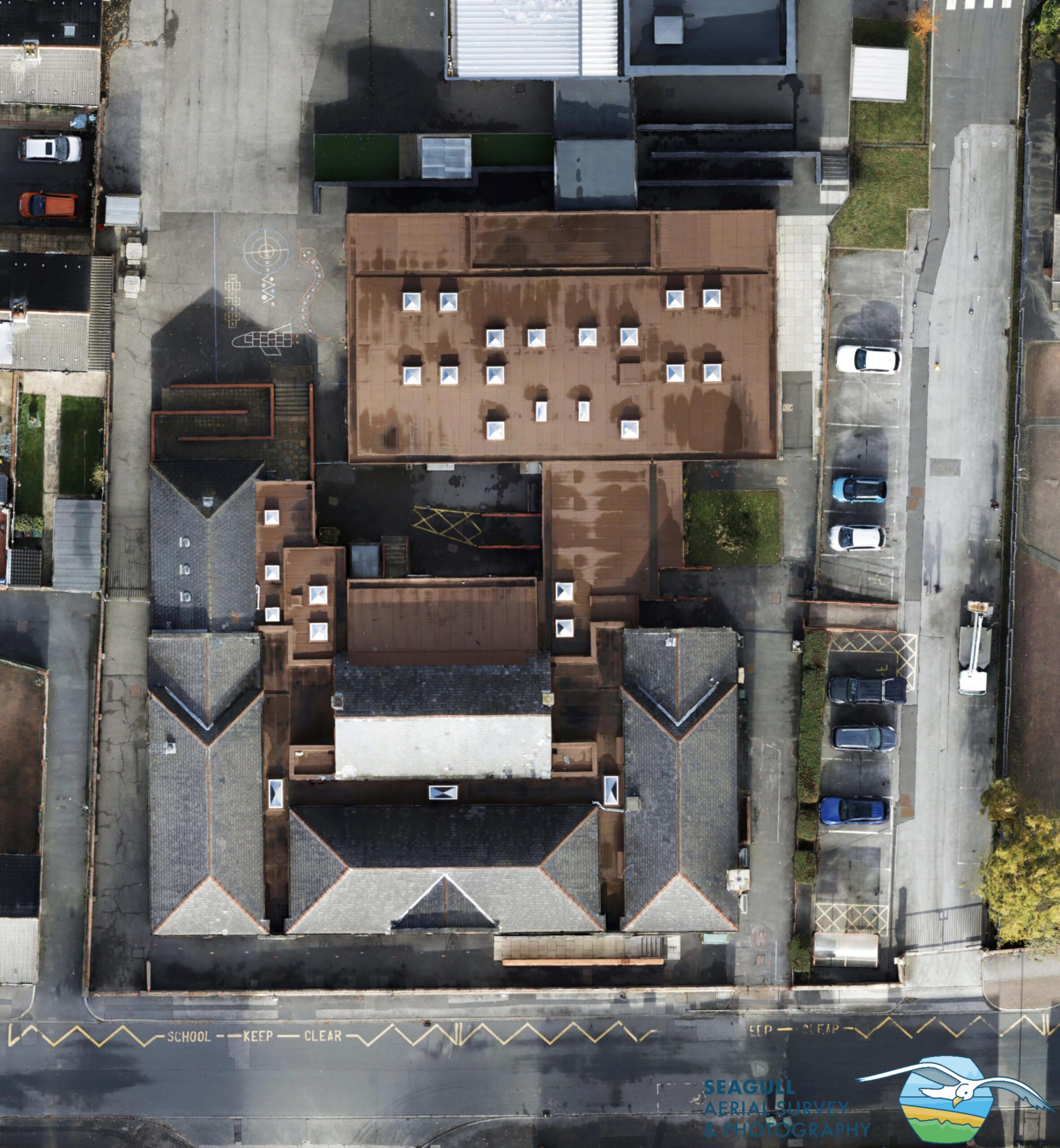
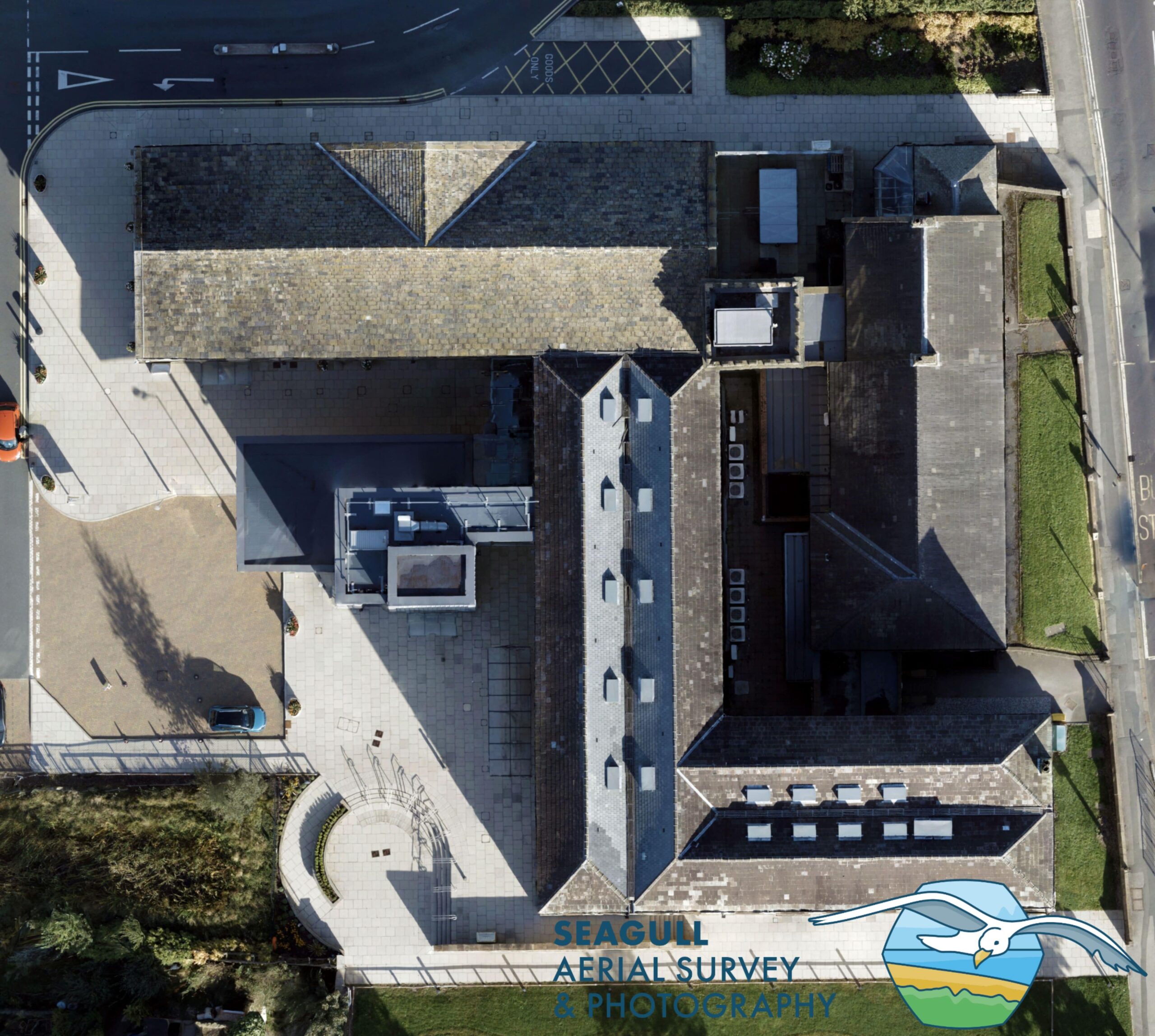
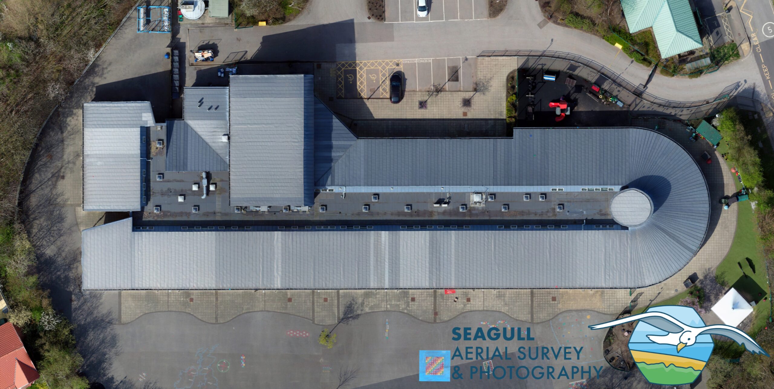
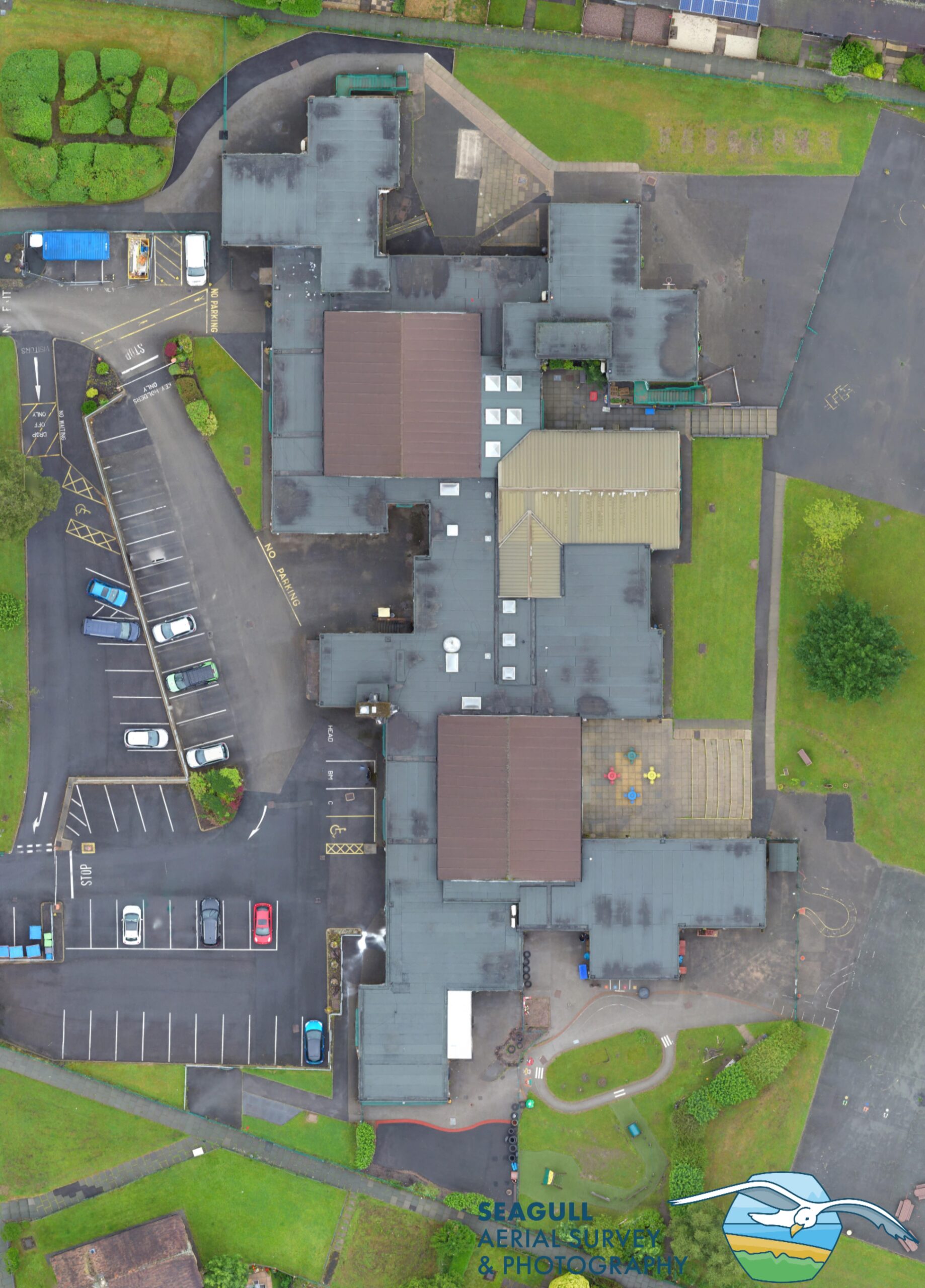
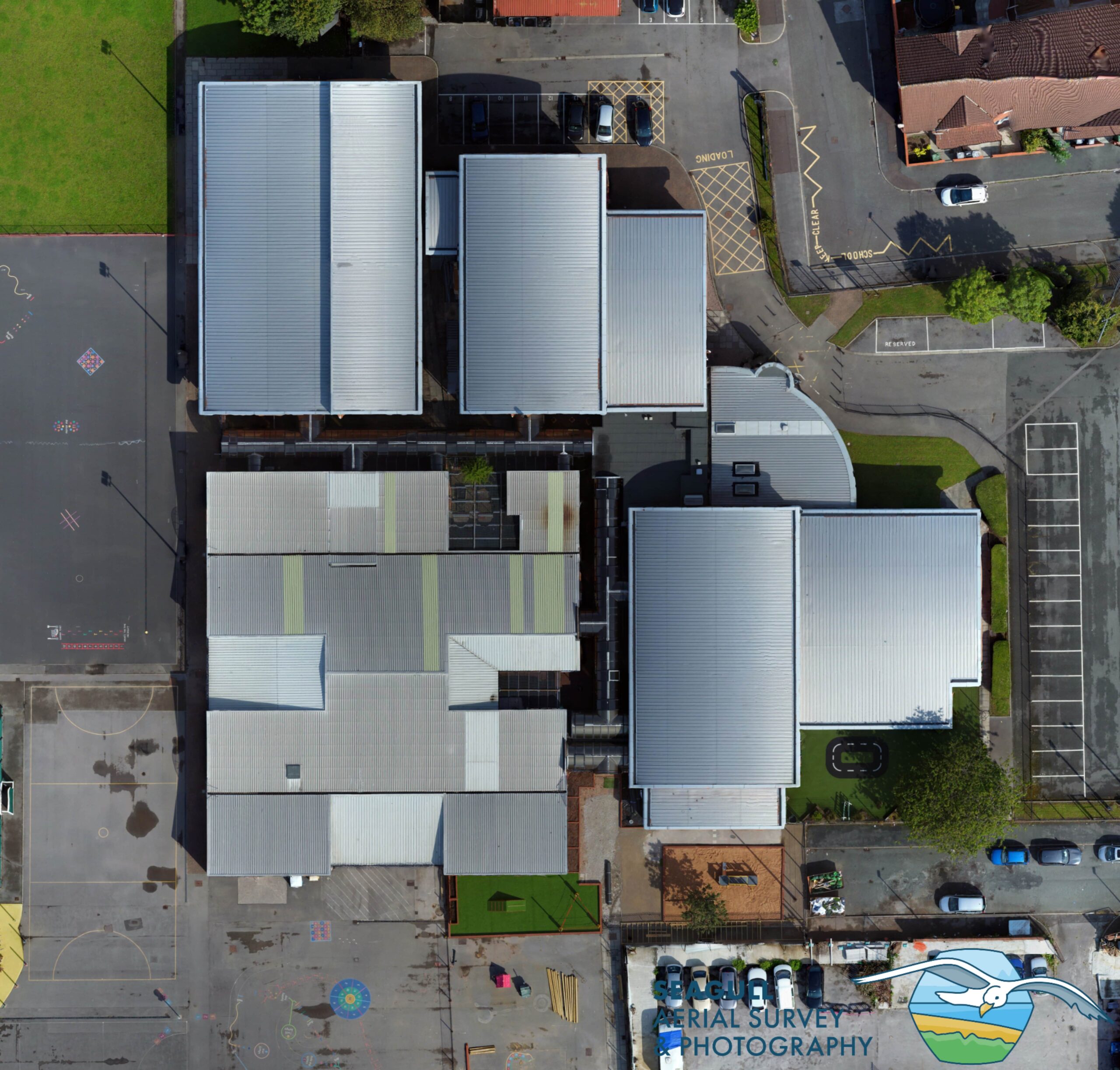
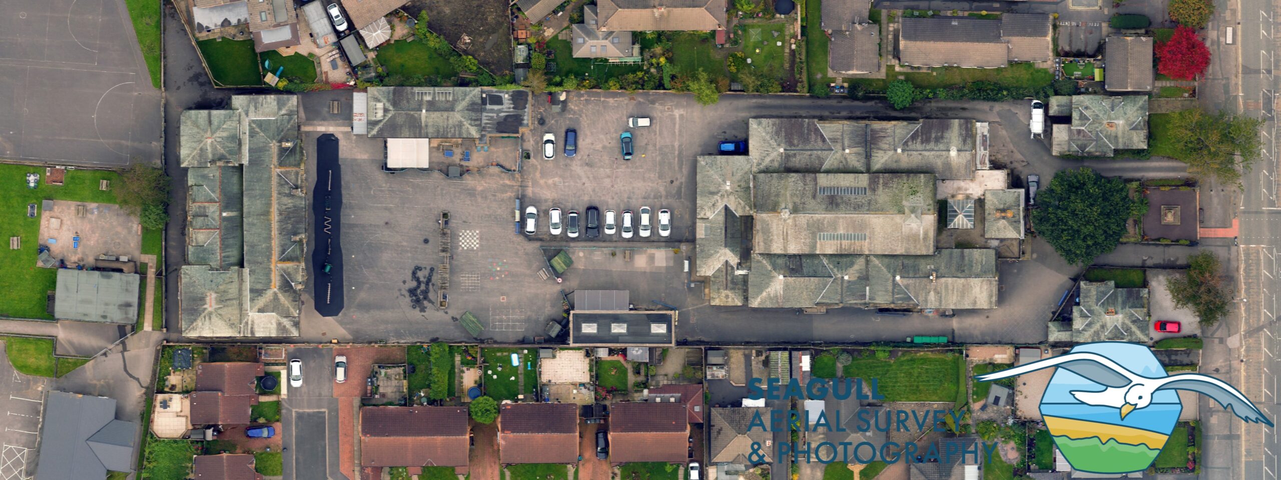
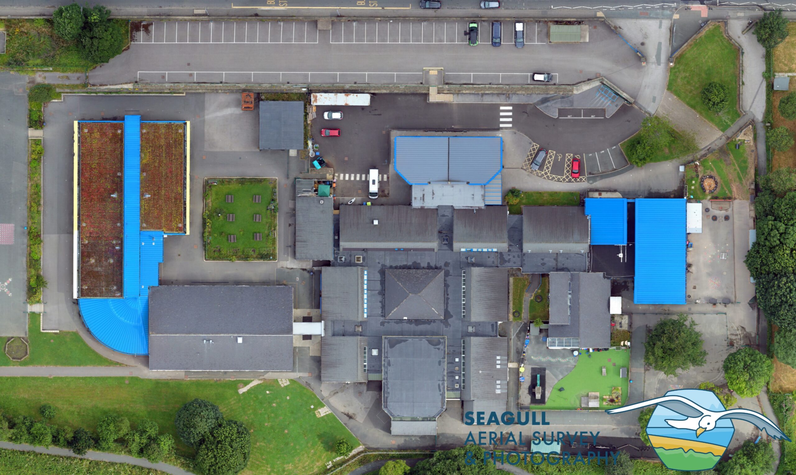
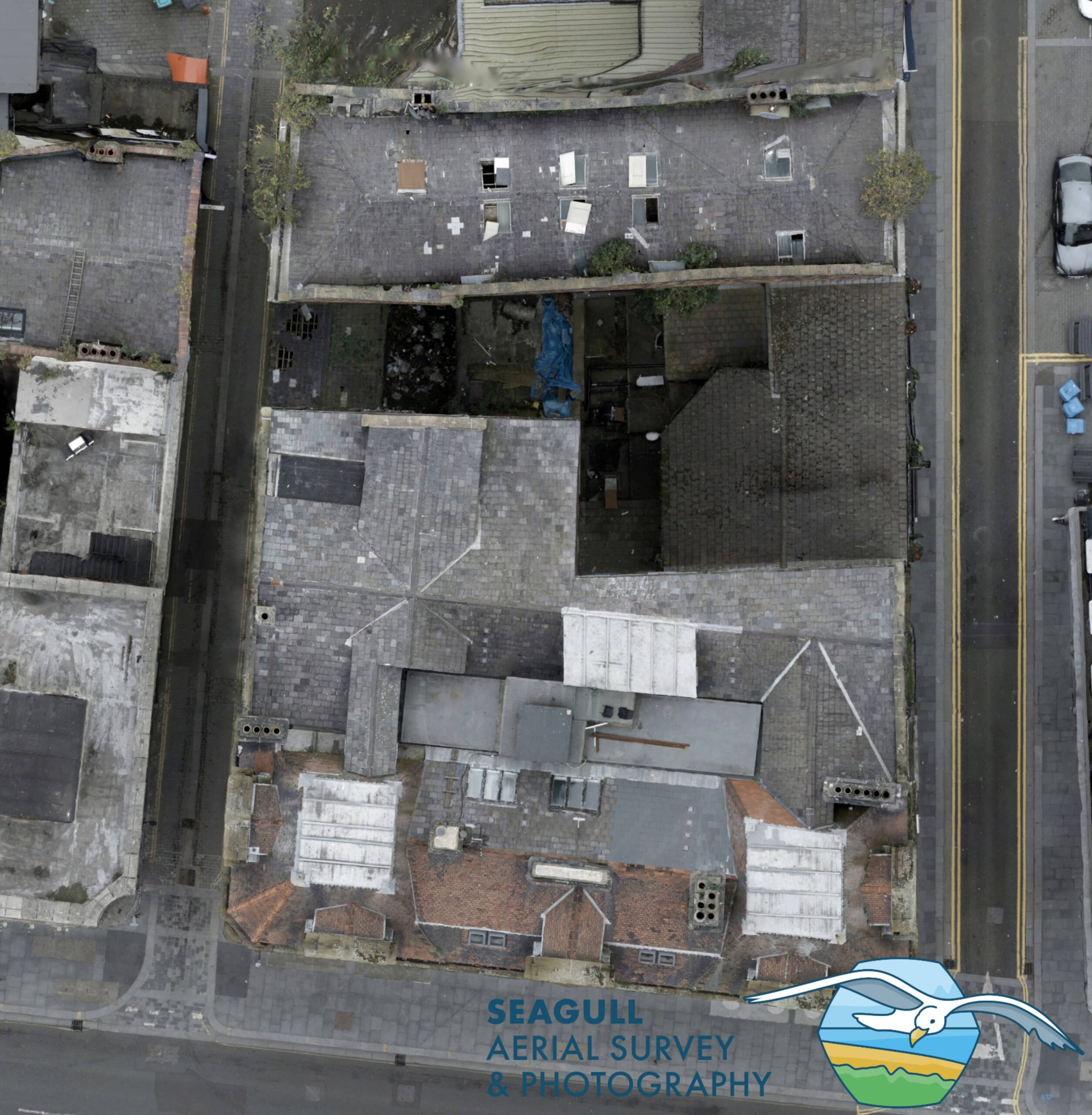
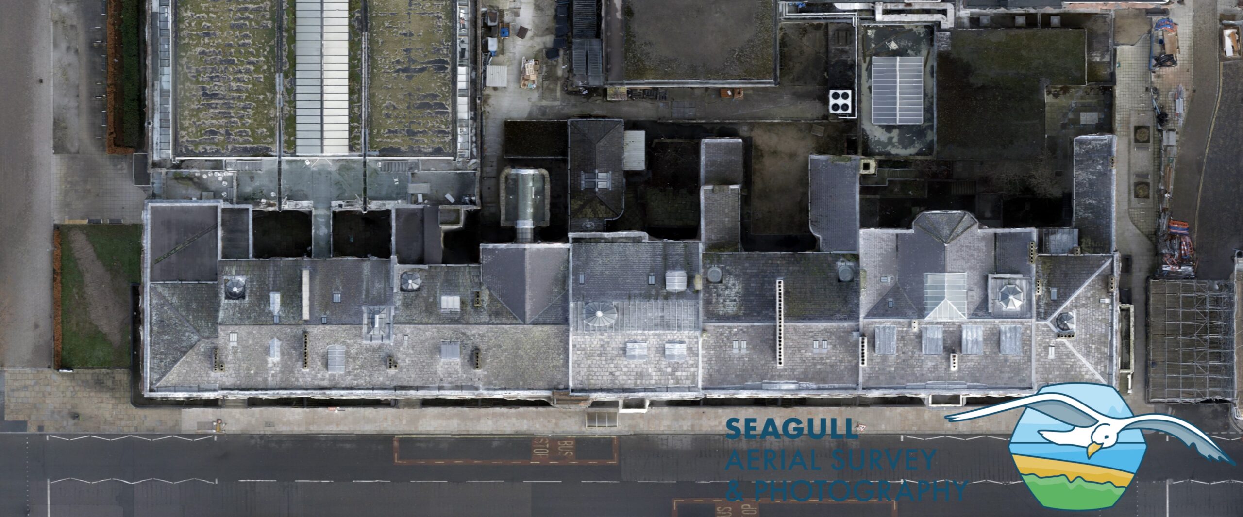
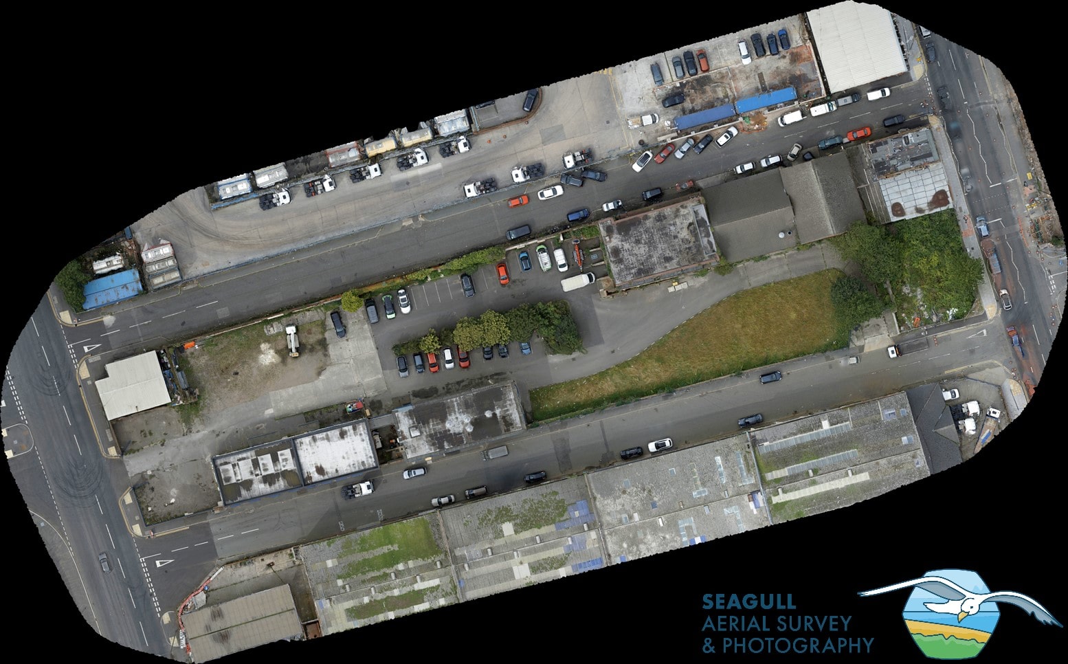
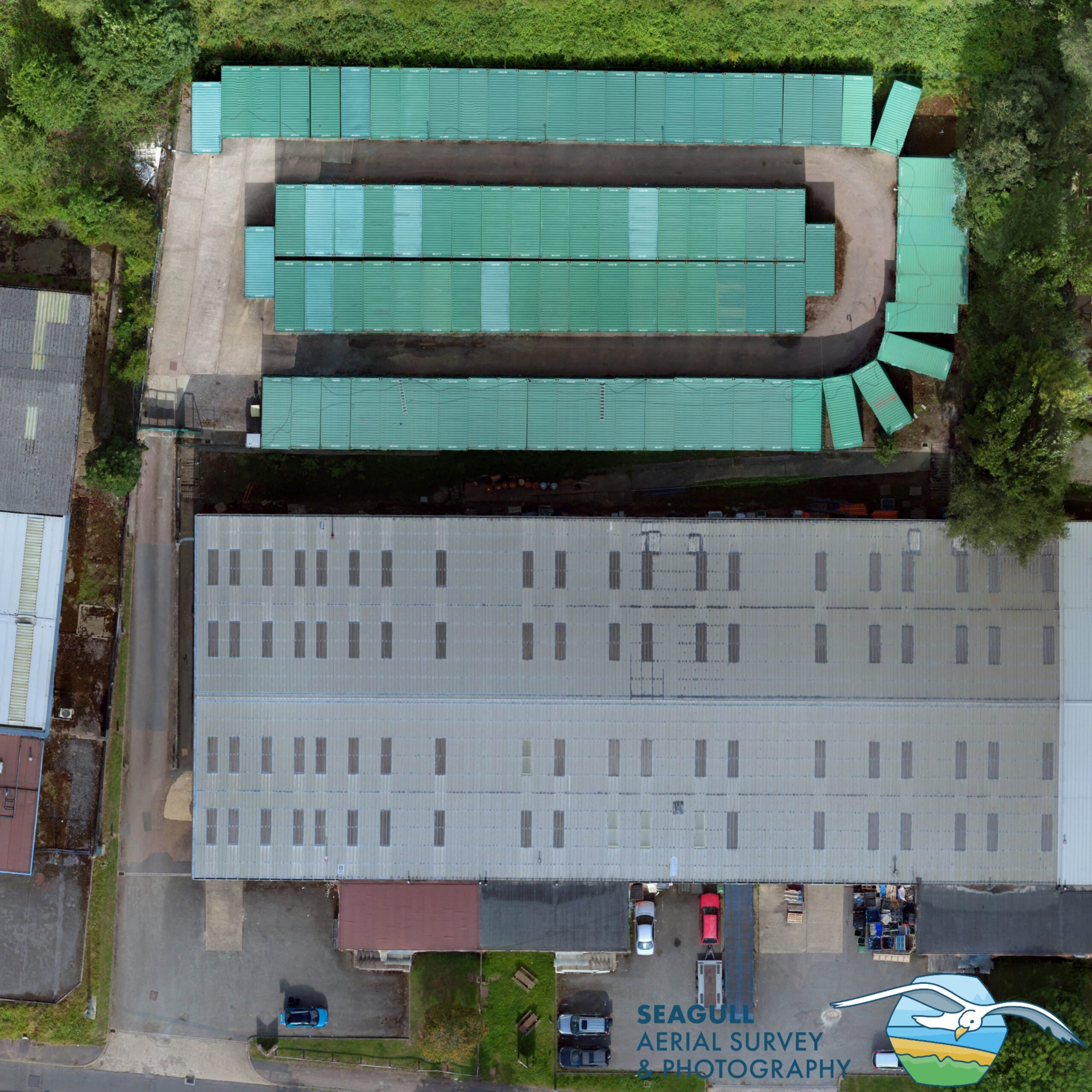
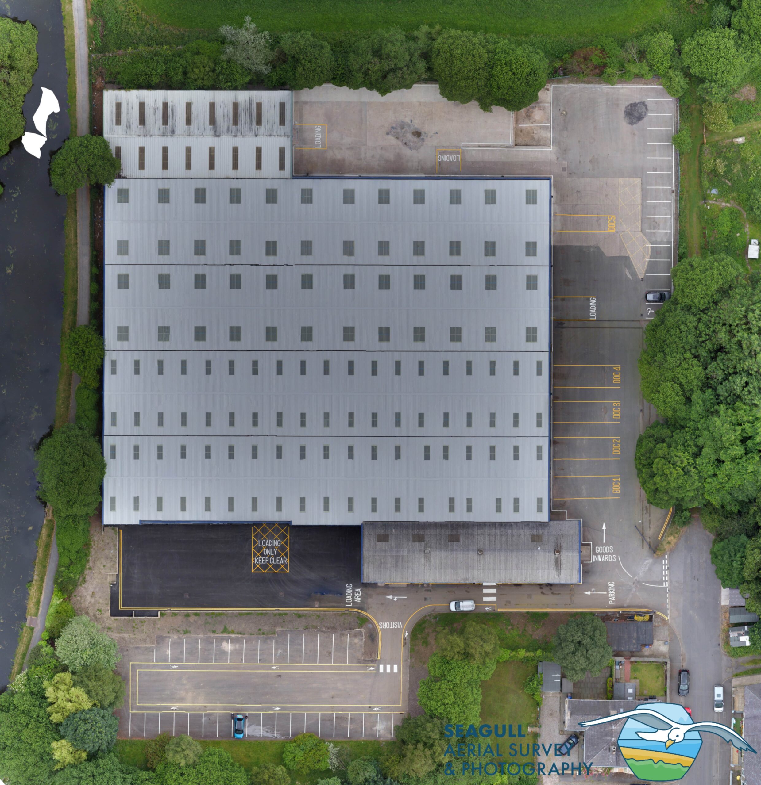
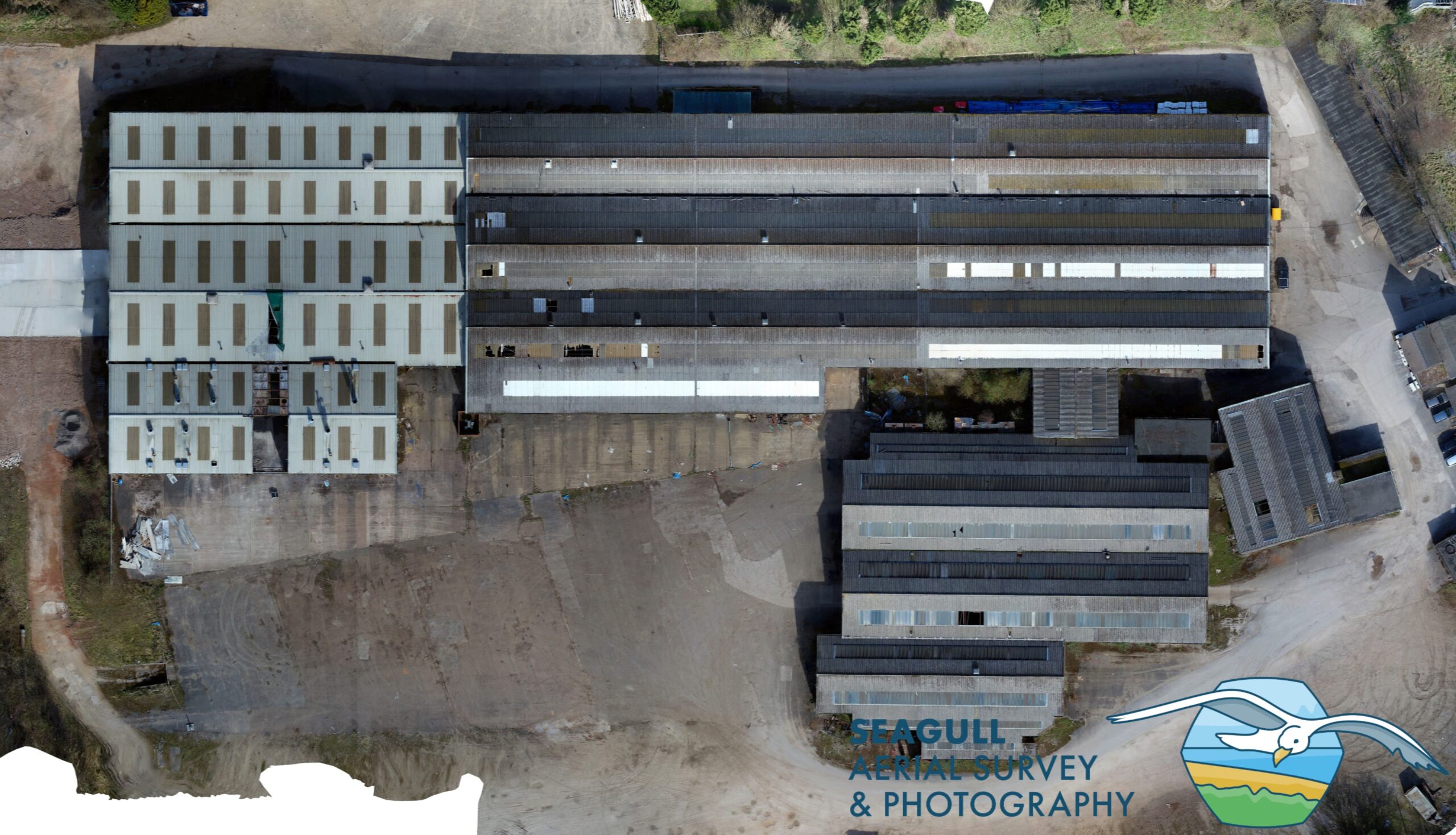
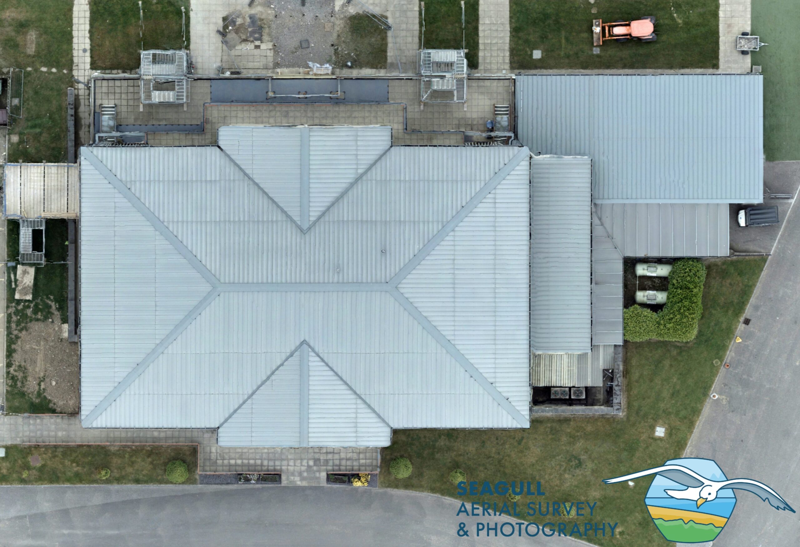
Aerial Site Mapping
Photo-maps of a site can be produced by using photogrammetry produced by the drone. Photogrammetry is the process of stitching together numerous overlapping images to produce a large scale, two-dimensional image of an area or subject, or even a 3d virtual representation on a computer screen.
The process can be refined further by incorporating modern GPS surveying techniques to calibrate the photo-map or model and produce highly accurate surveys or virtual models which in turn can be used to generate CAD plans in 2d or 3d.
Many of our clients find even the un-calibrated photo-maps useful for reporting, site planning or presentation purposes. Accurate CAD drawings of sites and buildings are possible using the fully calibrated GPS process.


